Panoptes:
Smartphone Detection
KEY FEATURES
Easy to use, one-touch threat reporting - just point and click
Portrait or landscape operation
Left or right-handed modes
Available for IOS or Android
Real-time air picture from your smartphone
Compatible with iOS and Android operating systems, Panoptes is an advanced, user-friendly mobile application designed and developed for all modern smartphones. Panoptes utilises existing technology within these devices, such as the GPS, magnetometer, and IMU (inertial measurement unit) sensors, to determine its location, orientation, and direction.
Several Panoptes-enabled mobile devices deployed in different locations can provide a unique mobile perspective of any potential threat. Images and video footage are fed directly to the central hub of our tactical air-picture system, Zeus. This Command and Control (C2) interface can then deliver an accurate real-time picture for instant visual assessment by the operator.
The seamless integration with other sensors in the AIS (Air Intelligence System) further enhances the effectiveness of Panoptes. It is an invaluable asset for any ground security team, providing a comprehensive and real-time view of the target area. Its user-friendly interface ensures that it can be easily used by any member of the ground security team, regardless of their experience level.

AIR SECURITY ECOSYSTEM
Passive RF direction finding with over 5km range and multiple target detection capability.
AI-powered autonomous camera tracking system with integrated identification and classification.
Counter-drone system on your smartphone. Relay real-time images and location data to Zeus Control.
Passive acoustic direction finding with integrated AI threat identification and classification.
ZEUS CONTROL: C2 Central System
The Zeus 'Command and Control' C2 interface gathers data from multiple sources, including imagery, video, passive RF, and acoustics, then presents the data to the operator in a clear graphical format, providing operators with a seamless user experience and considerably reducing the potential for false positives through correlative validation.
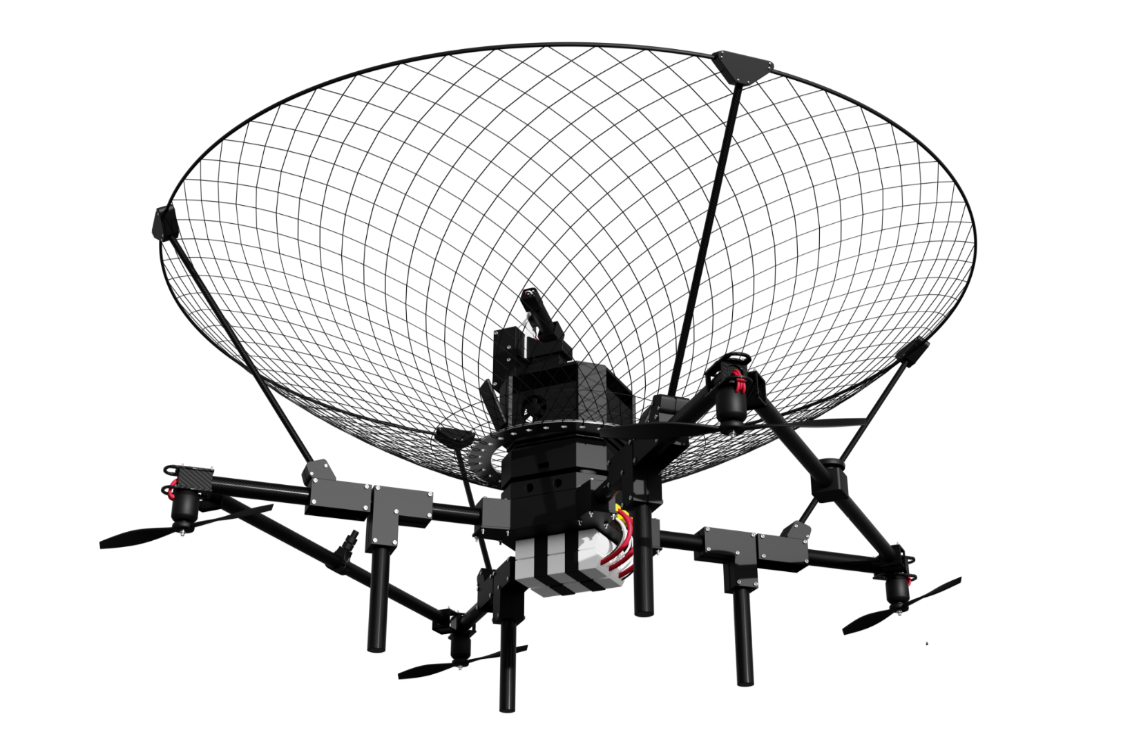
ORION: Autonomous Drone Defeat System
Once a threat has been identified and you are satisfied that appropriate measures must be taken, Orion can be autonomously deployed directly from the Zeus interface. Orion plots a path to fly underneath the target for a successful soft-kill intercept.

Would you like more information?
Would you like further details on LiveLink Aerospace? We're here to answer any questions you may have. Please fill out the contact form, and a member of the team will get back to you as soon as possible.


